We have the tools.
We use some of the latest programs and tools.
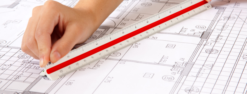
Preparation of sketches, references and balances according to various characteristics. Change of ownership.
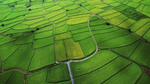
Preliminary investment research. Design assignment. Preparation of a conceptual and technical project.
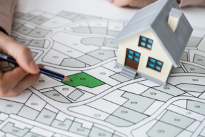
Tracing contours and axes of buildings, „zero“ elevation, „below“ elevation, „cornice“ elevation, determination of excavation volumes.
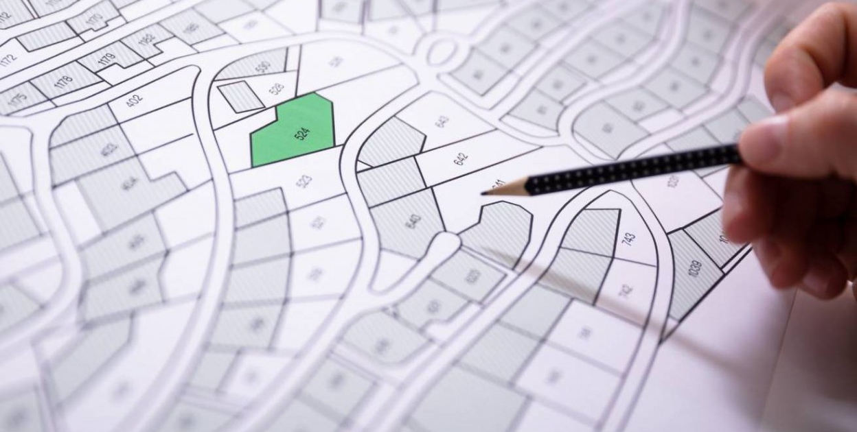
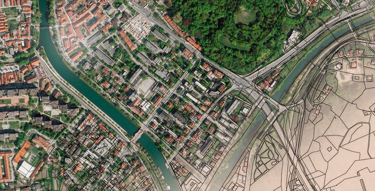
Creation and maintenance of cadastral maps and cadastral registers in accordance with ZKIR.
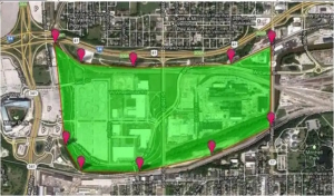
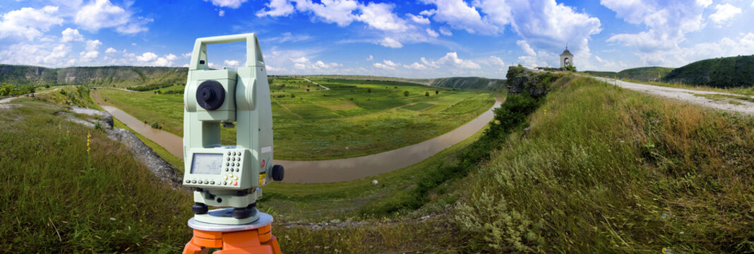
Measurements with geodetic GPS receivers and processing of the results.

Delineation of plots, lands, forests using a drone.
We use some of the latest programs and tools.
We have extensive experience and qualifications.
We can offer fast and quality services at good prices.
We offer a guarantee on some of our services
We are proud of the experience we have behind us.
You can count on us when needed.