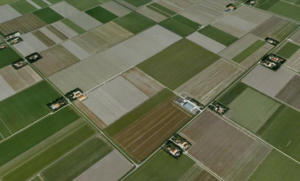
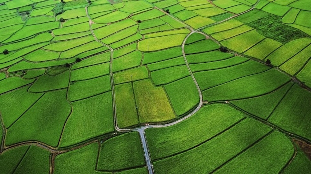
The Restored Property Map (RPM) combines data from the land subdivision plan, the map of the existing old real boundaries of land. lands, created under the order of ZSPZZZ, and the map of restored ownership of forests and lands from the forest fund, created under the order of ZVSGZGF.
Maintenance of the KVS is carried out at the request of individuals or legal entities or ex officio. The payment of the services under Ordinance 49 is carried out according to the Tariff for fees promulgated in SG No. 81 of 12.09.2003.
Recovery
Restitution of ownership of agricultural lands and forests in accordance with the ZSPZZ and ZVSGZGF.
Reflecting decisions of the OSZ to restore the right to property in old real boundaries;
Decisions to restore ownership rights with a land division plan;
Decision on compensation with lands;
Grounding decision etc.
Geodetic activities
Geodetic activities for restoration of property (capturing, tracing) – properties are identified and traced within existing and recoverable old real boundaries; a draft report is issued for approval by OSZ, which in turn prepares a protocol for the surveyed property or a protocol for taking possession of the traced property
Filming and coordination
Photographing and coordinating areal and linear objects and/or perennials
Tracing
Tracing and/or photographing and coordination of property boundaries – performed by legally competent persons entered in the register under Article 12, Item 7 of the Civil Code for a period not longer than 20 working days
The company issues property tracing protocols and construction line protocols
Reflection
- Reflecting in the KFS changes that occurred during the implementation of infrastructure objects of State importance
- Reflecting the effective decisions of the commissions under Art. 17, Para. 1 of the PPE
- Reflecting completed investment projects under the ZUT
Introduction
Introduction of changes in the register of owners and in the register of properties – registration of sales, divisions, inheritances, donations, replacements, court decisions
Application
Application of engineering and infrastructural objects, buildings and facilities in the digital model of the KVS – these data are transferred to the KVS at the request of interested parties, being provided and accepted in „ZEM“ format after a geodetic survey has been carried out
Digitization
Digitization of plots from Plot Plans (for Farm Yards)
Preparation
- Preparation of a sketch of a property – the sketch of a landed property is a copy of the Land Registry and reflects the state of the property as of the date of its issuance, according to the data in the register. It is valid for a period of 6 months and is recertified by OSZ in the absence of changes in the property data
- Preparation of oral and written references and consultations for landed properties – anyone can request a reference for the entries in the registers of individual properties in compliance with the Law on the Protection of Personal Data and the Law on Classified Information
Crafting
- Making a copy of a map or its part – per square meter of the map on plotter paper, tracing paper, heliograph paper, on non-deformable material – mulinex, etc.
- Creation of a property lot – incl. data on the property, owners, property rights, easements, rent and lease, claims, mortgages, foreclosures and other encumbrances, administrative restrictions on use
- Drawing up a sketch-project for the division or merger of properties – the sketch is accompanied by documentation that contains data on the properties to be divided or merged, data on the owner, mortgages, etc. encumbrances for the property, adm. restrictions and data on the newly formed properties and their owners
- Changing the way of permanent use of land property – is carried out after an application has been submitted to OSZ and an inspection of the property appointed by a committee to establish the change
- Preparation of oral and written references and consultations for landed properties – anyone can request a reference for the entries in the registers of individual properties in compliance with the Law on the Protection of Personal Data and the Law on Classified Information
- Reflecting/deleting easements and restrictions on use, claims for property, foreclosures and other encumbrances on property, mortgages, restricted property rights, etc.
- Reflect/remove low levels (categories, NTPs, buildings)
- Making a copy of a property tracking card, for entering and/or providing coordinates (x, y) of border points of a property – officially certified by the Company contractor for technical activities and by OSZ are provided
- Provision of coordinates of points of the reference network with reference and/or of boundary points of a property
Отразяване
Отразяване/удължаване/прекратяване на договори за пренаемане, преарендоване, оземляване, управление на гори
Предоставяне
Предоставяне на баланс по характеристики:
вид територия по предназначение
– вид собственост
– начин на трайно ползване
– почвена категория и др.
(на хартиен и магнитен носител)
We will be happy to help you
All these services will be performed professionally and correctly. Thank you for your trust.