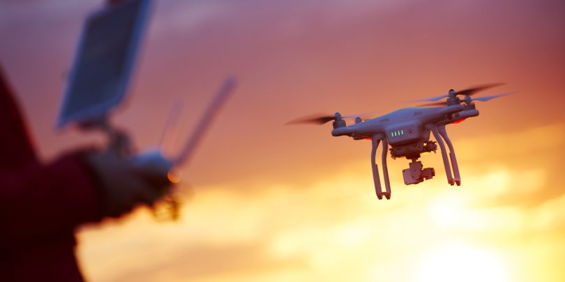
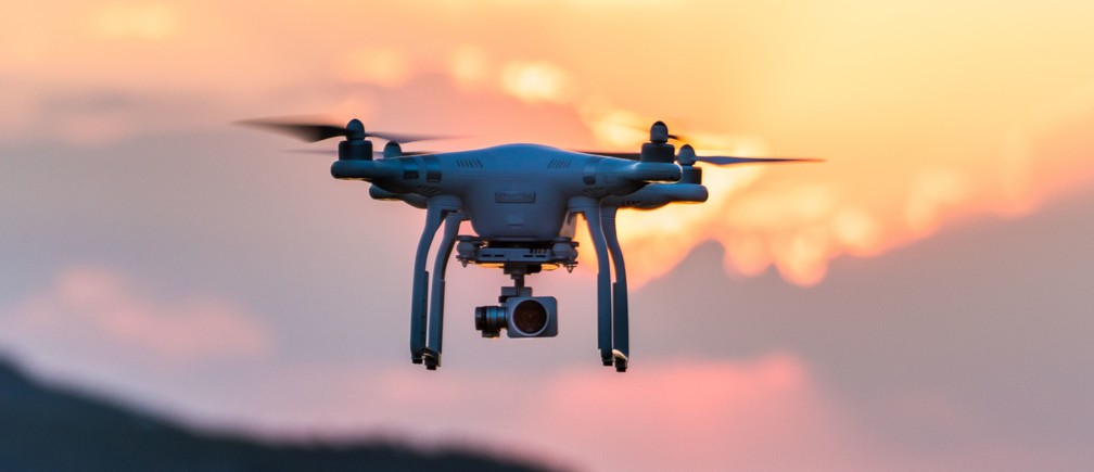
In the design process, architects and builders require surveying the terrain and providing a 3D Model of reality. Geonik creates 3D models using a drone and when necessary with additional geodetic measurements on site.
Variants of the products provided by us are:
- Creation of orthophoto plans;
- Making a digital model of the terrain (DTM);
- 3D model of a separate building and adjacent terrain;
- Determining the volume of excavations and embankments.
Necessary documents:
- Scheme of the scope of the territory;
- Secured access to the territory.
Implementation deadlines depend on the scope of the task and the atmospheric conditions.
Great for you
Along with drones, surveyors are also adopting new equipment: high-resolution visual cameras, laser scanners and GNSS modules, as well as data management software that work alongside the drones. The complex of drones can be easily integrated into existing systems and thus make the work of surveyors more convenient and efficient.